
Scientific depth, organised around the decision.
We bring earth observation, spatial science and product engineering together across connected capability areas. Clients see the result and the decision it enables; our delivery methods remain protected.
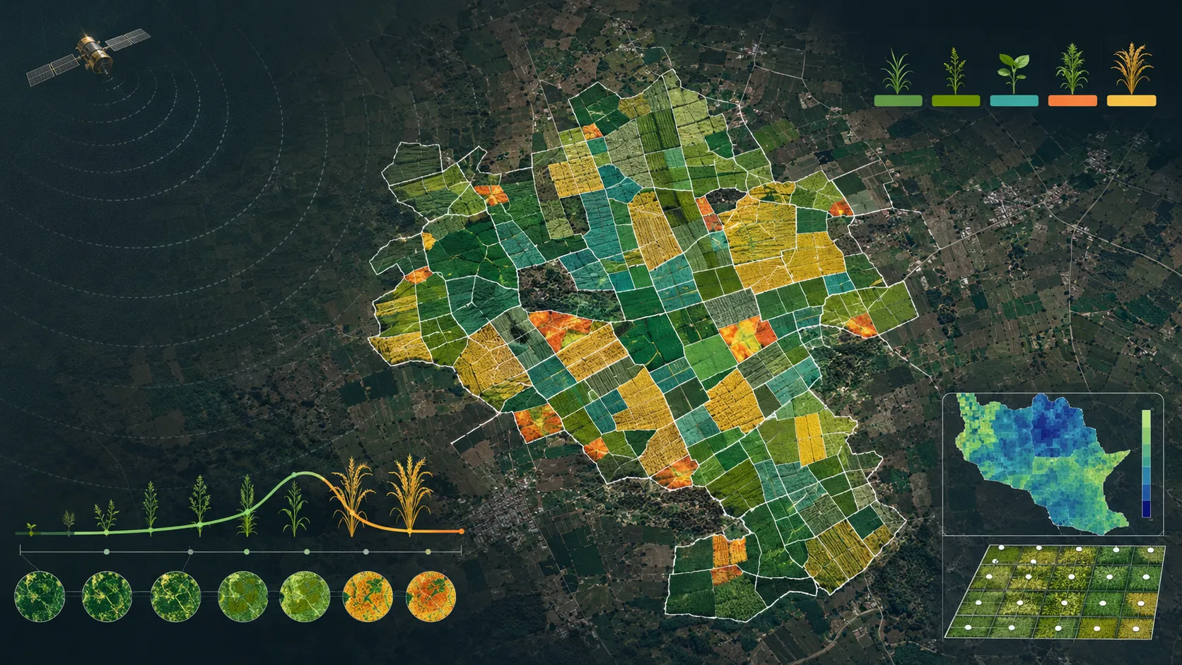
Agriculture & land intelligence
Parcel intelligence, soil and land-resource evidence, suitability and advisory products built for operational use.
Explore capability →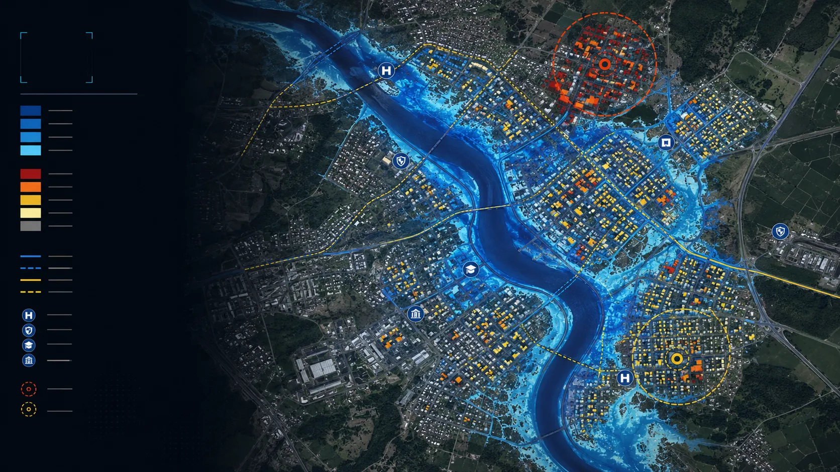
Climate & water intelligence
Flood, waterlogging, water adequacy, heat and asset-risk intelligence for programmes, portfolios and places.
Explore capability →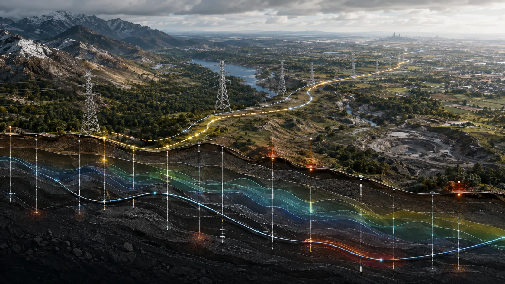
Infrastructure intelligence
Corridor monitoring, engineering-ground intelligence and inspection prioritisation for infrastructure owners and delivery teams.
Explore capability →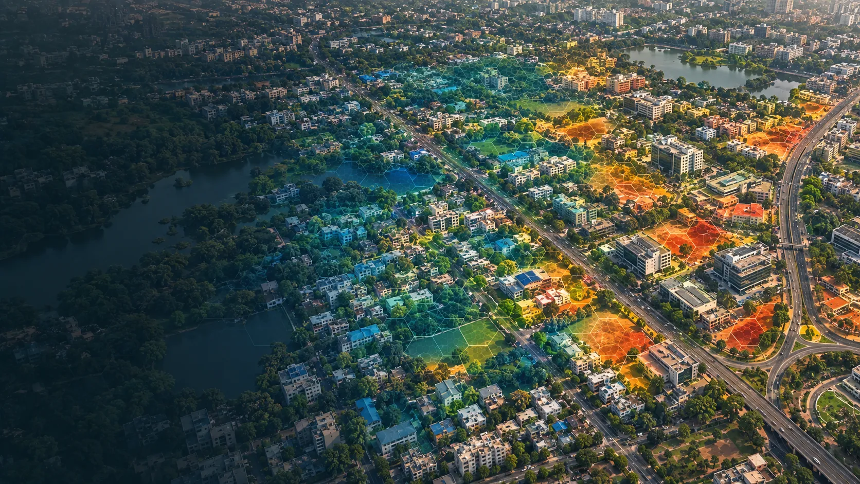
Urban & location intelligence
Building, neighbourhood and location intelligence that supports planning, site selection and real-asset decisions.
Explore capability →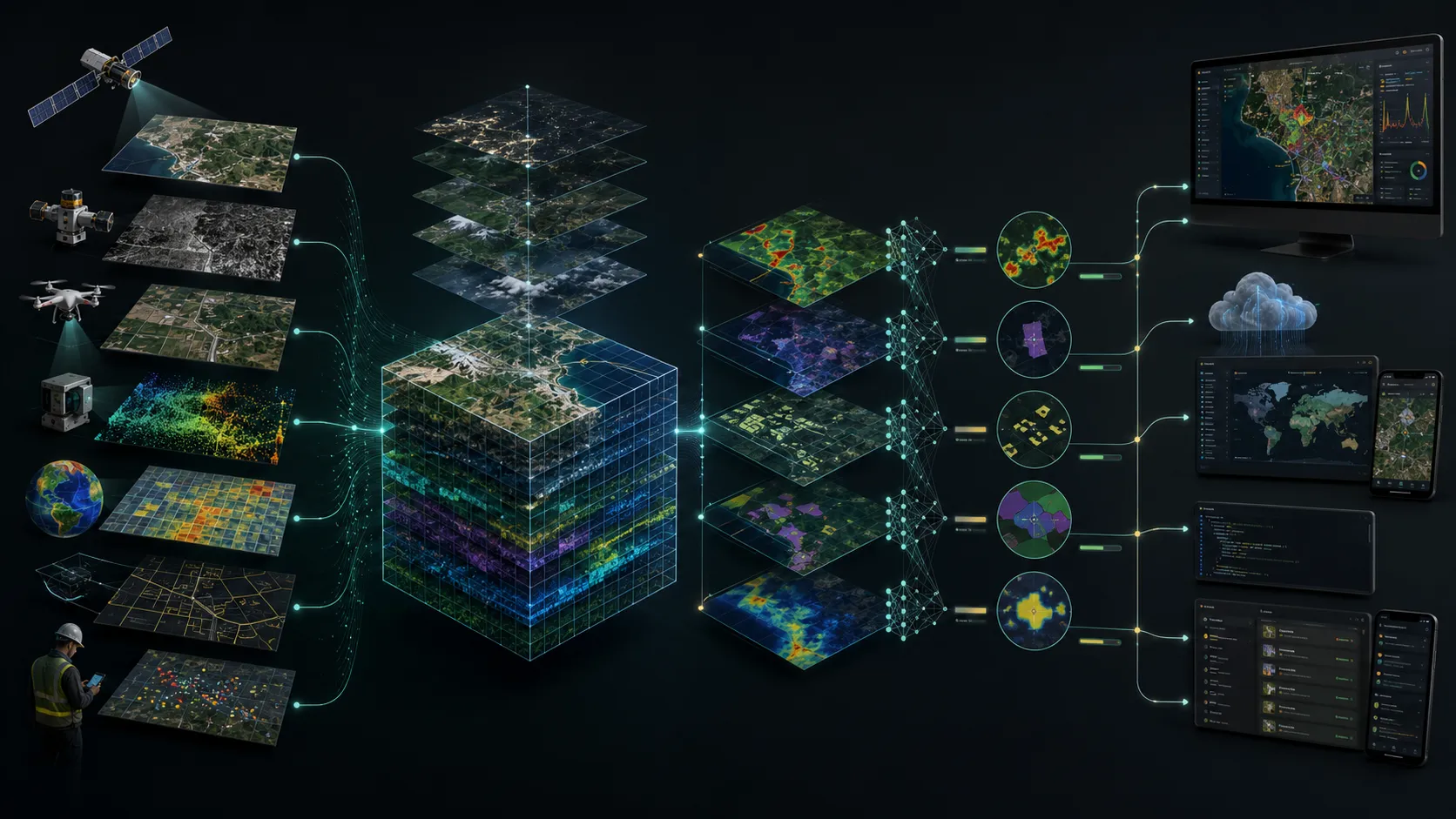
Spatial platforms & data engineering
Cloud-ready spatial data, dashboards, map services and APIs that make intelligence usable across an organisation.
Explore capability →Bring us the decision. We will shape the spatial intelligence around it.
Start with a focused conversation about the outcome, the users and the evidence already available.