
Capabilities / Climate & water intelligence
Hazard understood at the scale of actionClimate & water intelligence
Where is risk emerging, what is exposed, and what needs attention first?
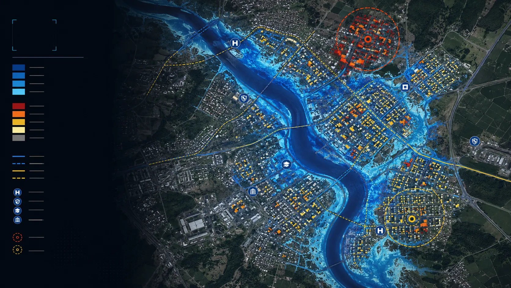
Flood, waterlogging, water adequacy, heat and asset-risk intelligence for programmes, portfolios and places.
- Flood extent and exposure
- Waterlogging susceptibility
- Weekly water adequacy
- Urban heat intelligence
- Building and access risk
Useful outputs, ready for the team that needs them.
All deliverables are produced and quality-assured to industry standards and have been accepted by our clients.
See the capability in delivered projects.
Cropland flood-extent intelligence
Flood extent mapped across cropland during active monsoon conditions, with parcel context retained for response, assessment and recovery decisions.
Read the case →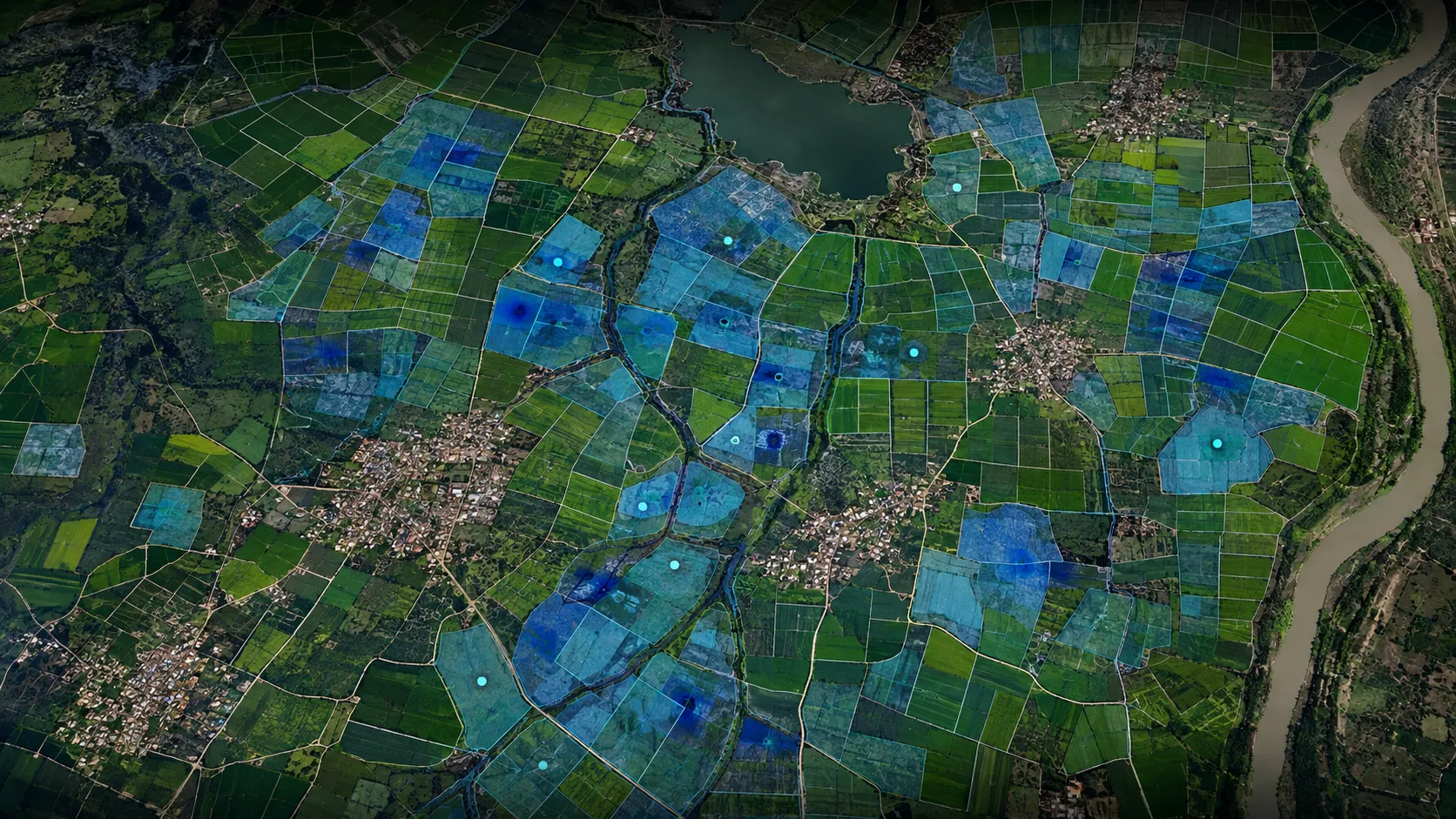
Parcel-level waterlogging susceptibility
Waterlogging susceptibility mapped at parcel scale for drainage, crop advisory and agricultural-risk decisions.
Read the case →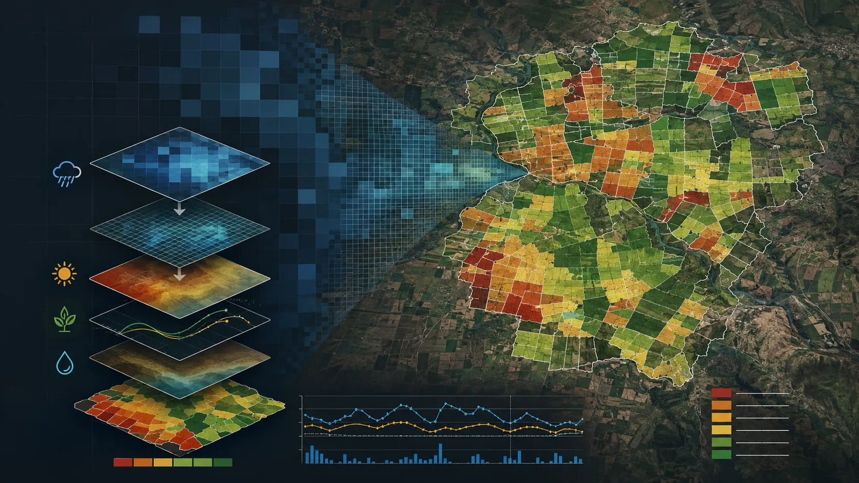
Weekly water-adequacy intelligence
Weekly water adequacy brought to the parcel scale so emerging crop stress can be understood in time for programme and field action.
Read the case →
Urban heat-risk intelligence
City-wide heat intelligence that brings hazard, exposure and vulnerability together for cooling, planning and neighbourhood-priority decisions.
Read the case →
Building and access flood-risk intelligence
Building and road-access risk mapped for real-asset owners, so portfolio exposure is visible before an event and actionable at asset level.
Read the case →Bring us the decision. We will shape the spatial intelligence around it.
Start with a focused conversation about the outcome, the users and the evidence already available.