
Capabilities / Urban & location intelligence
A clearer view of places and portfoliosUrban & location intelligence
What exists on the ground, how is it changing, and which location best fits the decision?
What we can do
Building, neighbourhood and location intelligence that supports planning, site selection and real-asset decisions.
- Building-footprint intelligence
- Urban heat and exposure
- Site selection
- Accessibility and catchment analysis
What clients receive
Useful outputs, ready for the team that needs them.
Urban intelligence layers
Site-comparison dossiers
Portfolio views
Planning dashboards
Delivered to industry standards · Client-accepted
All deliverables are produced and quality-assured to industry standards and have been accepted by our clients.
Selected work
See the capability in delivered projects.
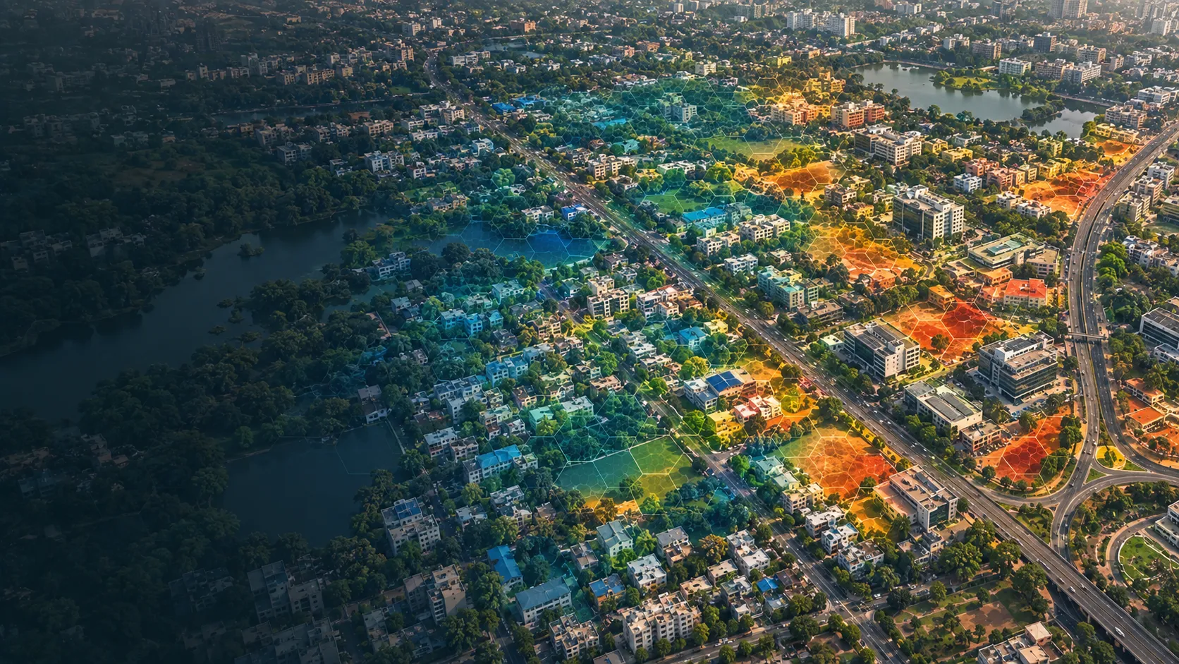
Urban heat-risk intelligence
City-wide heat intelligence that brings hazard, exposure and vulnerability together for cooling, planning and neighbourhood-priority decisions.
Read the case →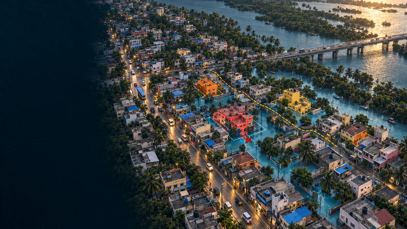
Building and access flood-risk intelligence
Building and road-access risk mapped for real-asset owners, so portfolio exposure is visible before an event and actionable at asset level.
Read the case →Bring us the decision. We will shape the spatial intelligence around it.
Start with a focused conversation about the outcome, the users and the evidence already available.