
Work / Parcel-level crop suitability and advisory
Parcel-level crop suitability and advisory
Crop suitability expressed parcel by parcel, with the limiting condition and a practical management response kept visible for each decision.
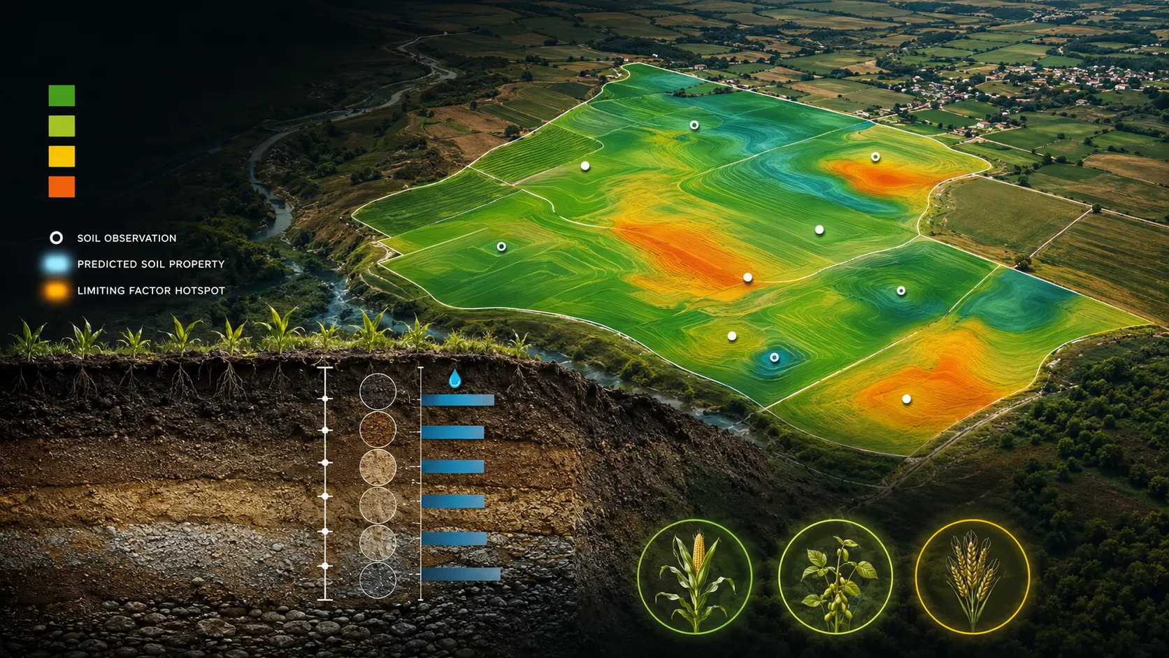
A closer view of the spatial output.
Project visuals are anonymised and framed around the decision they support.

Context and objective
Agriculture teams needed to move beyond a broad recommendation and understand which crop fits an individual parcel, what limits that fit and what response can improve the outcome.
The objective was to translate land and crop evidence into a clear parcel-level choice that could support both planning and communication with field users.
Delivered intelligence
- Parcel-level suitability classes
- Crop-specific suitability views
- Limiting-condition layers
- Management and contingency advisories
- GIS-ready outputs for programme and field teams
Outcome
Suitability becomes more useful when the reason is visible. The delivery helps extension teams, producer organisations and programme managers distinguish a strong crop fit from a constrained one and connect each parcel to a practical next action.
Practical value and scalable use
The same parcel view supports seasonal planning, field communication and prioritised advisory delivery across different crop contexts. The public product explains the decision and its limiting condition without exposing the underlying analytical recipe.
All deliverables are produced and quality-assured to industry standards and have been accepted by our clients.
Bring us the decision. We will shape the spatial intelligence around it.
Start with a focused conversation about the outcome, the users and the evidence already available.