
Work / Land resource inventory and soil intelligence
Land resource inventory and soil intelligence
Wall-to-wall soil and land-resource intelligence prepared as a coherent geodatabase for planning, advisory and programme decisions.
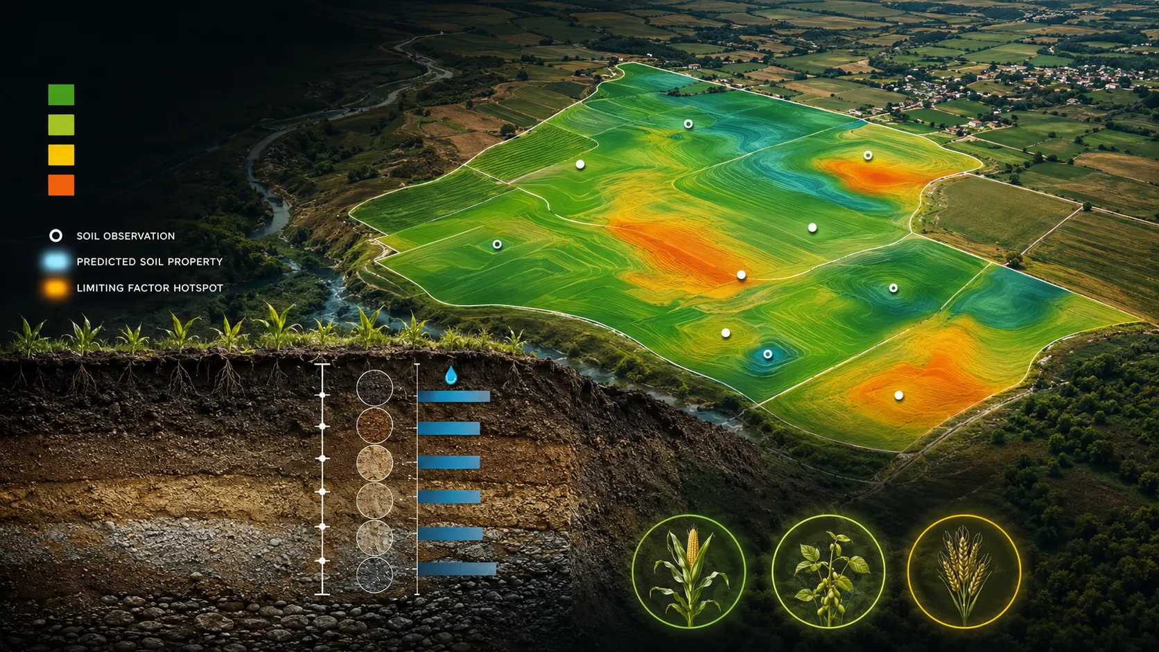
A closer view of the spatial output.
Project visuals are anonymised and framed around the decision they support.

Context and objective
A climate-resilient agriculture programme needed a consistent view of soil and land conditions across its operating geography, suitable for both technical planning and field delivery.
The objective was to organise diverse land-resource themes into a common spatial foundation that different programme teams could use with confidence.
Delivered intelligence
- Soil-depth, texture and available-water-capacity maps
- Land-use and land-cover intelligence
- Terrain and land-resource themes
- A structured soil and land geodatabase
- Map products for planning and advisory use
Outcome
The inventory gives programme teams a common spatial reference for understanding land capability, targeting interventions and connecting field observations to regional planning.
Practical value and scalable use
The products support crop planning, watershed and land management, soil advisory, site prioritisation and long-term programme monitoring. Their shared structure allows new land themes and operating geographies to be added without fragmenting the delivery.
All deliverables are produced and quality-assured to industry standards and have been accepted by our clients.
Bring us the decision. We will shape the spatial intelligence around it.
Start with a focused conversation about the outcome, the users and the evidence already available.