
Work / Weekly water-adequacy intelligence
Weekly water-adequacy intelligence
Weekly water adequacy brought to the parcel scale so emerging crop stress can be understood in time for programme and field action.
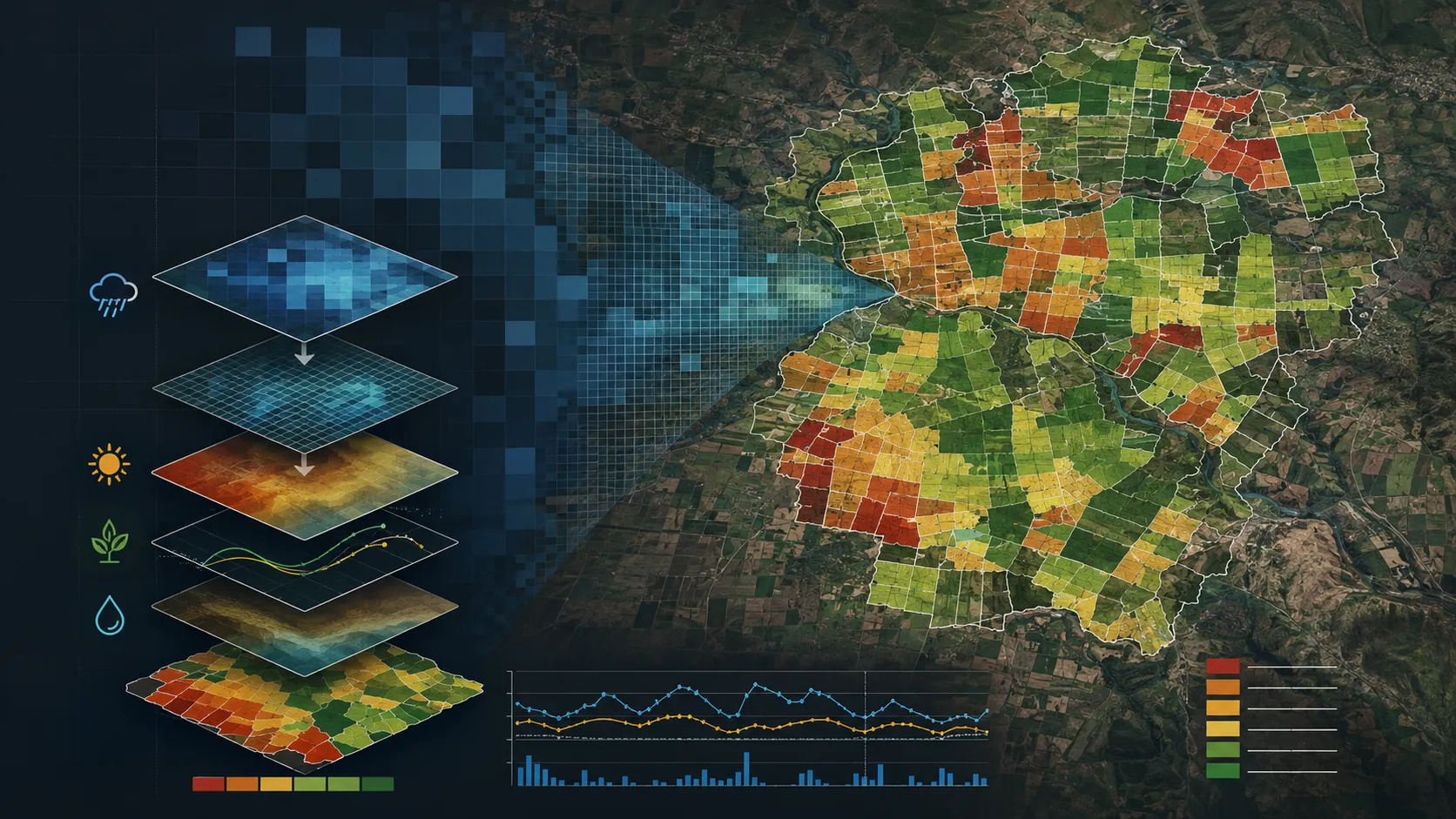
A closer view of the spatial output.
Project visuals are anonymised and framed around the decision they support.

Context and objective
Agriculture teams needed to see where available moisture was adequate for crops and where stress was emerging within the same operating geography.
The objective was to provide a changing spatial signal that could be read consistently alongside crop condition and seasonal decisions.
Delivered intelligence
- Weekly water-adequacy maps
- Parcel-ready adequacy classes
- Priority views for water-stress response
- GIS and dashboard layers for seasonal monitoring
Outcome
The delivery provides a common view for deciding where advisory, irrigation support or field attention is most useful. It adds a changing water signal to the same parcel framework used for crop and suitability intelligence.
Practical value and scalable use
Programme teams can move from a broad operating view to parcel detail and connect it to crop condition and seasonal advisory workflows. The delivery structure supports recurring updates wherever the same decision needs to be refreshed.
All deliverables are produced and quality-assured to industry standards and have been accepted by our clients.
Bring us the decision. We will shape the spatial intelligence around it.
Start with a focused conversation about the outcome, the users and the evidence already available.