
Work / Soil organic carbon stock and change intelligence
Soil organic carbon stock and change intelligence
State-scale soil-organic-carbon stock and change products for natural-capital, sustainability and land-management decisions.
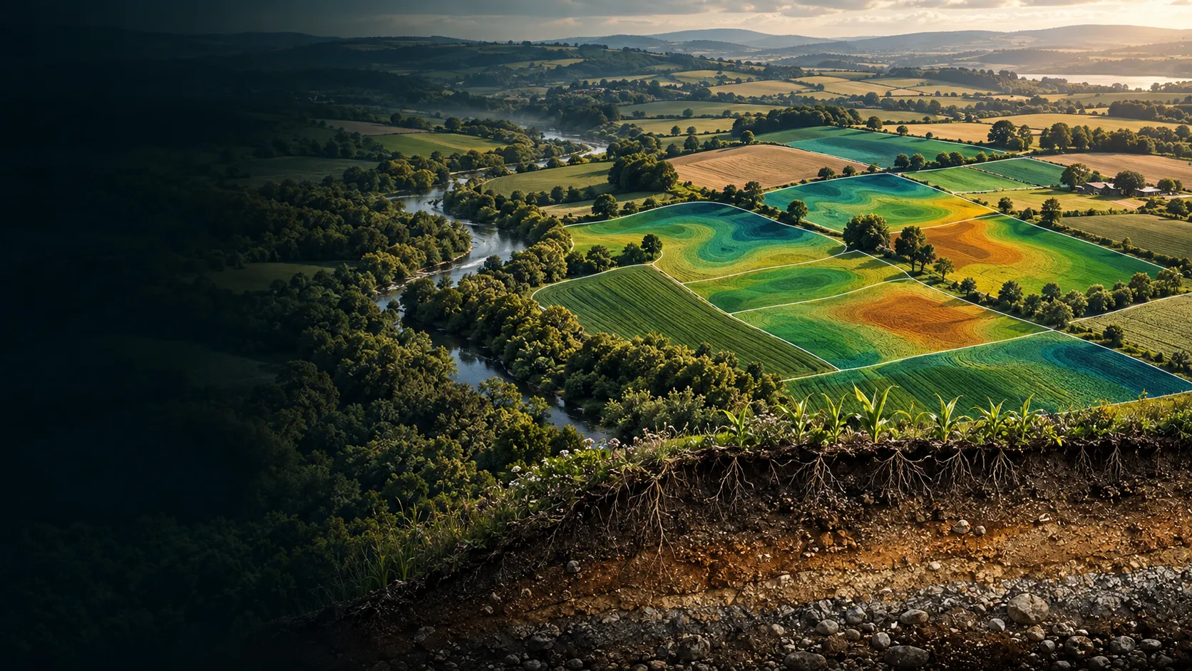
A closer view of the spatial output.
Project visuals are anonymised and framed around the decision they support.

Context and objective
Land and sustainability teams needed a consistent spatial view of soil carbon that could support baseline understanding, stewardship priorities and programme reporting.
The objective was to present carbon condition and direction of change as coherent land intelligence rather than isolated technical surfaces.
Delivered intelligence
- Soil-carbon density classes
- Carbon-stock layers
- Change-direction maps
- Priority views for programme planning
- GIS-ready products for carbon and land-management workflows
Outcome
The maps show where soil carbon conditions differ and where change is moving in a positive, stable or declining direction. This helps teams focus investigation, stewardship and programme attention.
Practical value and scalable use
The carbon products sit within a broader soil and land-resource capability, allowing the same geography to be understood through soil depth, texture, water capacity, land use and carbon. This creates a scalable foundation for stewardship and natural-capital programmes.
All deliverables are produced and quality-assured to industry standards and have been accepted by our clients.
Bring us the decision. We will shape the spatial intelligence around it.
Start with a focused conversation about the outcome, the users and the evidence already available.