
Work / Urban heat-risk intelligence
Urban heat-risk intelligence
City-wide heat intelligence that brings hazard, exposure and vulnerability together for cooling, planning and neighbourhood-priority decisions.
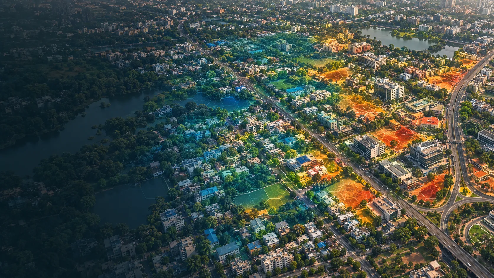
A closer view of the spatial output.
Project visuals are anonymised and framed around the decision they support.

Context and objective
City teams needed a clear view of where heat risk is concentrated and which neighbourhoods should receive attention first.
The objective was to connect heat patterns with the urban and human context needed for planning, prioritisation and coordinated action.
Delivered intelligence
- Urban heat-risk maps
- Hazard, exposure and vulnerability views
- Neighbourhood and planning-unit priorities
- Map and dashboard products for intervention planning
Outcome
The output helps planners distinguish a hot place from a high-risk place. By presenting heat alongside the people and urban conditions it affects, the product supports clearer cooling, greening and public-realm priorities.
Practical value and scalable use
The same capability informs city planning, real-estate portfolios, public-health coordination and climate-action programmes. It scales from neighbourhood prioritisation to broader city and portfolio views while keeping the public product focused on the decision.
All deliverables are produced and quality-assured to industry standards and have been accepted by our clients.
Bring us the decision. We will shape the spatial intelligence around it.
Start with a focused conversation about the outcome, the users and the evidence already available.